
See São Miguel from a close-up perspective
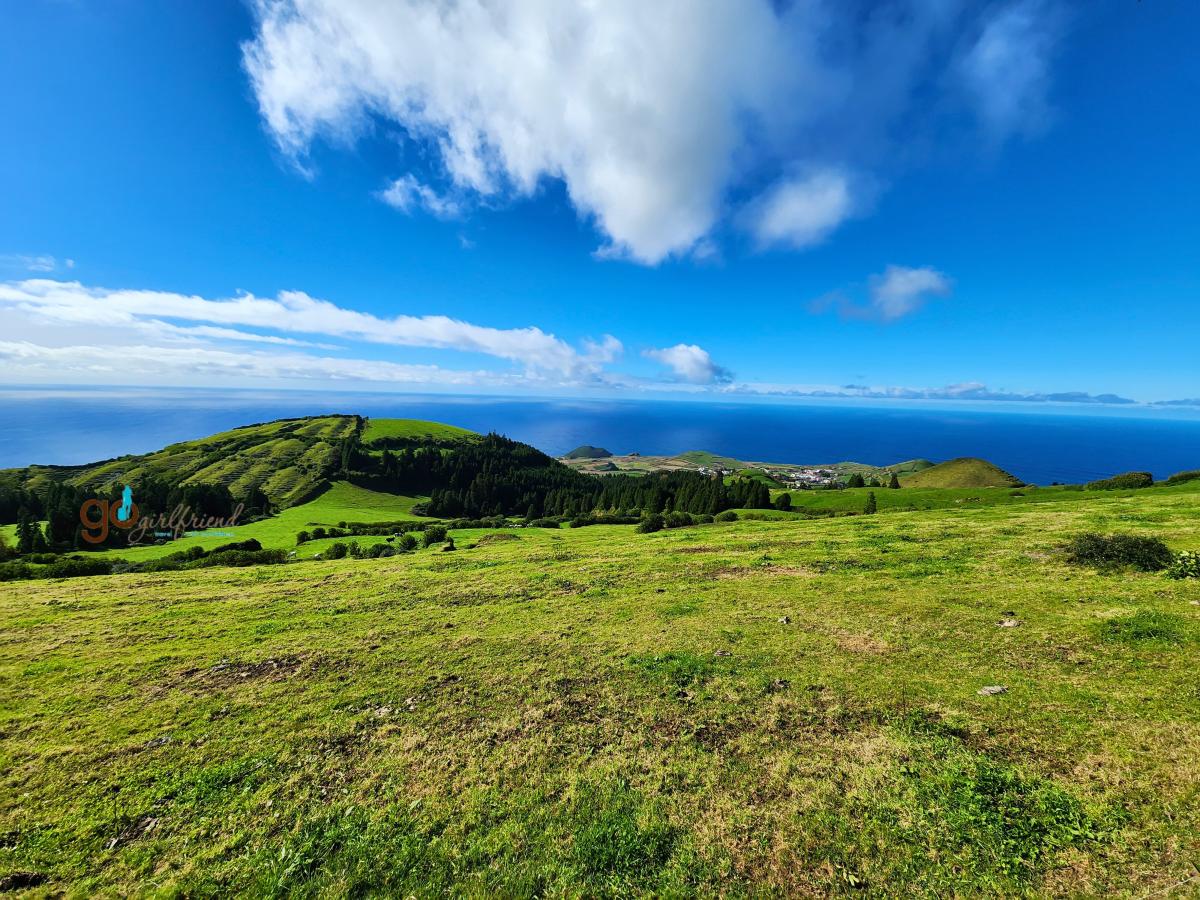
While driving the island of São Miguel will deliver wonderful views and perspectives, taking the time to get out of the car and explore some lesser auto-accessible areas will deliver breathtaking angles, hidden visual treasures and simply, a deeper touch of the island.
 Follow with us as we open up the opportunity, via hiking, to see active and extinct volcanic remnants as well as lush waterfalls and landscapes to up your touring game!
Hike offerings on São Miguel island of the Azores:
Hike offerings in Madeira:
- GoGirlfriend Hike Recommendations on Madeira
- Madeira hiking (Visit Madeira)
- Best Trails in Madeira (Alltrails)
So many hiking choices, here’s what we chose.
A trip only allows so many opportunities to add a hike to broaden sight-seeing explorations, but what getting off the grid and into the back-country offers is a whole added depth of appreciation for the destination.
 Of the wide selection of hikes available, we narrowed our hikes to incorporate the features we truly wanted to see on a deeper level – the volcanic calderas, the hidden waterfalls, walking through the steaming Furnas steam geysers, views from the highest points and optimal sunrise-viewing opportunities – the perspectives we simply couldn’t get from a car’s access.
Where we found Madeira much more mountainous – we describe Madeira as Jurassic-esque with so many powerful opportunities to see the harshness of the unforgiving volcanic landscape.
Contrastingly, São Miguel was pastoral, with peaks half the height and gentler slopes far richer in lush agricultural or natural greenery. As a result, the hikes in São Miguel were far less taxing, the views lusher and the landscape far less arduous.
The Earth’s tectonic plates are active displaying volcanic remnants.
From an earth sciences perspective, São Miguel (and the 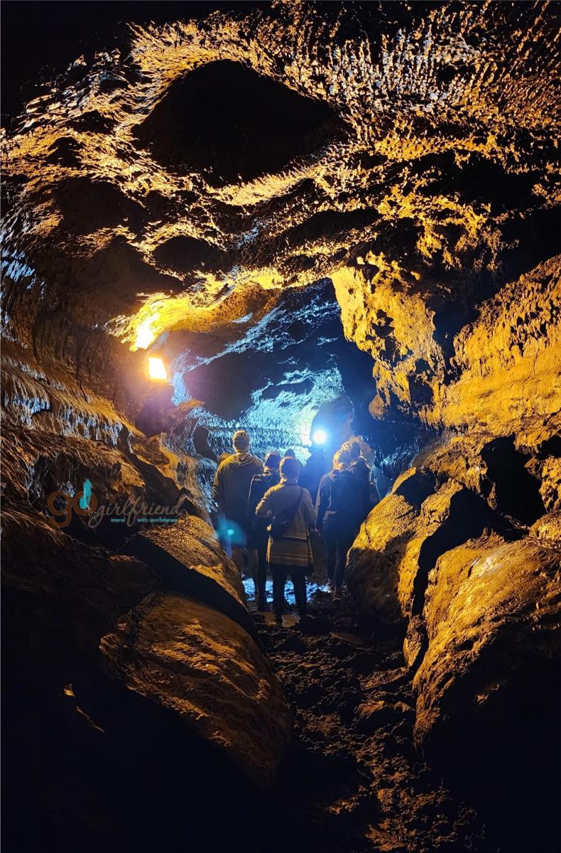 Azores in general) are formed from, and sit directly atop, the joining of the continental Eurasian tectonic plate (to the north) and the continental African tectonic plate (to the south) – uniquely enough the westernmost islands of the Azores are positioned additionally at the join of the North American tectonic plate, a rare trifecta of converging plates. Hiking São Miguel offers insights into the volcanoes and the calderas that created this archipelago of islands – and the Furnas caldera still active in geothermal awesomeness.
Of the hikes mentioned:
- The Miradouro da Boca do Inferno hike puts you on the Eurasian plate.
- The Vista do Rei hike traverses you on the African plate with the plates meeting down the middle of the town of Sete Cidades northwest to southeast.
 Point of interest: If you head into the town of Mosteiros seaside and look back towards the caldera rim, you will see a segment about ½ km (1600 ft) wide that has dropped. That is the graben effect of the fault line - as the plates pull apart, the fault line, in this case, sinks in the gap - between the Eurasian plate (which you are on) and the African plate (where you were hiking earlier in the day).
- The Pico da Barrosa hike is on the African plate side of the tectonic plate convergence from northwest to southeast through the center of Lagoa do Fogo lake within the Agua da Pau caldera.
- The town of Furnas sits atop the fault lines of the two plates still active in geothermal displays around the Furnas caldera and valley.
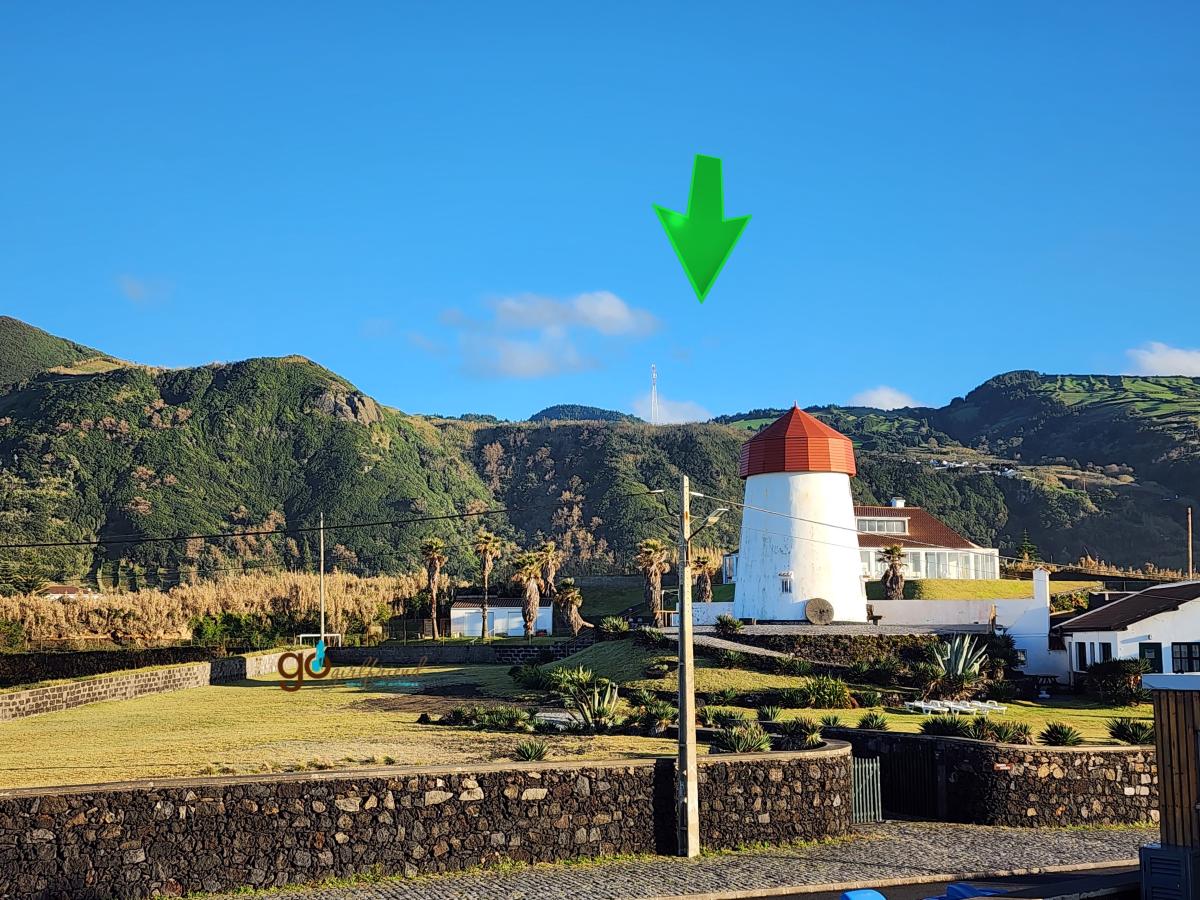
From our São Miguel (Azores) 6-day itinerary, these are the hikes we chose (and why).
Visit our 6-day itinerary about São Miguel for more detail.
Miradoura da Boca do Inferno – one of the best landscapes on São Miguel!
2.6 km (1.6 mi) there and back with minimal 82 m (270 ft) in elevation - Easy
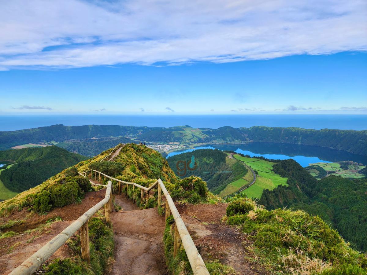 An easy 10-minute walk in from the road (with a little optional side trip down to the tranquil Lagoa do Canário – a volcanic crater lake surrounded by lush, natural vegetation 800 m (2600 ft) above sea level), brings you to the first view of the Sete Cidades Caldera. Sitting high atop the caldera rim (300 m, 1000 ft) the first view west is simply a tease. Continue a few moments further along the path to the formal lookout as each step delivers a wider reveal of one of the most spectacular landscapes of the island. Depending on the light conditions, you will hopefully notice of the two crater lakes – one blue and one green (from the angle where you are, the reflecting light of the blue sky makes the larger lake blue [on the right] and the greenery surrounding the second sunken crater lake of Lagoa Verde [to the left] making the waters look green. This panorama lookout of the Sete Cidades caldera also showcases the small town of Sete Cidades on the crater floor as well as the coastline in the distance.
Amenities – portable washrooms
PR3 SMI Vista do Rei e Sete Cidades
We only hiked 5km and returned, minimal elevation change 50 m (150 ft) - Easy
Begin from the parking lot and traverse the dirt road along the western rim of the Sete Cidades crater with a different perspective from the Boca do Inferno lookout. We hiked only the first 5 km from the Miradouro and returned same path.
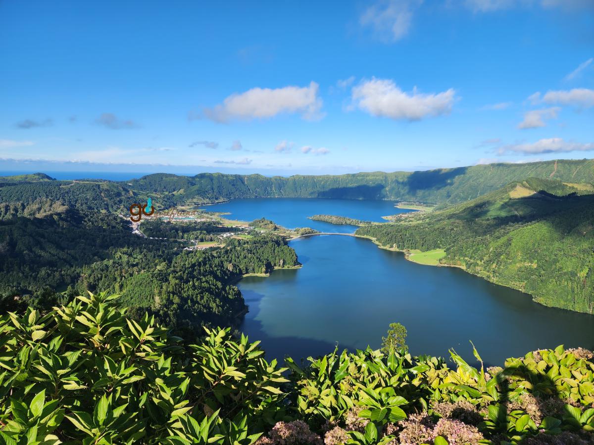 The hike’s vantages offered views of the interior of the caldera and coastal views of the outer crater rim with occasional cinder cones and lava flows evidence both inside and outside the caldera rim. Most prominent between your position and the town of Sete Cidades is the Caldeira Seca cinder cone, newly created in the 1500’s as the most recent of this caldera’s activity.
End at the Miradouro Vista do Rei before a short trek to explore the haunting remains of the Monte Palace Hotel – follow the road (head to the right away from the caldera rim) around to the entrance and venture in for some creepy views of the grand lobby and haunting façade.
Amenities – portable washrooms and occasional food trucks
Viewpoint and Pico da Barrosa
3.1 km (2 mi) from the lower Miradouro parking - or 1.7 km (1.1 mi) from the higher parking lot, there and back with max 170 m (550 ft) elevation from the lower parking - Moderate
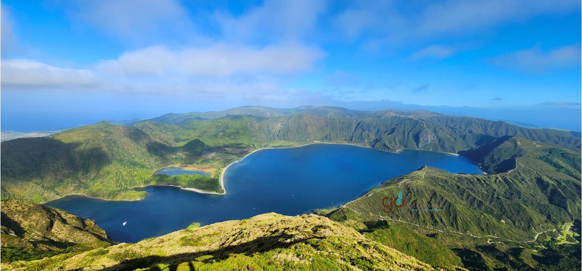 Driving up the caldera (1000m (3100 ft)) from the north of the island, there are several Miradouro lookouts to see the inner crater lake - Lagoa do Fogo, 300 m (1000 ft) below the caldera rim – as part of the Aqua de Pau caldera (unseen, but for interest the fault line runs northwest to southeast through the center of the crater lake placing your vantage on the African plate). Last active in the 1500’s, the Agua de Pau caldera once was a stratovolcano many thousands of years ago that exploded and imploded to create this crater, lake and caldera rim. From the upper car park, walk the path to the communications tower and beyond to get some great views of Lagoa do Fogo 350 m (1100ft) below. At your hikes highest points, you can see both the north and south coast revealing how small and intimate São Miguel truly is.
Amenities – portable washrooms
Morning hike at Ribeira dos Caldeirões Waterfall Route
1.0 km (0.6 mi) there and back with slight 21 m (65 ft) elevation - Easy
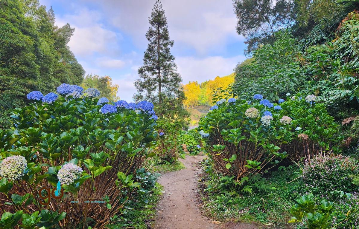
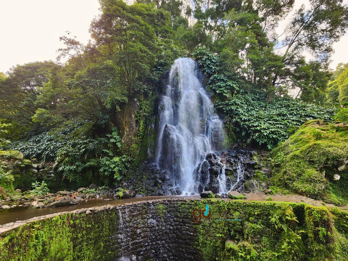 From the main road parking at Parque Natural da Ribeira dos Caldeirões, the short 1 km hike takes you past the initial first waterfall along the burbling stream with many flowers and blooming hydrangea to the cascade wrapped in the foothills valley.
After the hike, wander the Parque Natural da Ribeira dos Caldeirões across the road and walk the trails down to the 16th century watermills wonderfully landscaped into the surroundings.
Amenities - A café, museum and washrooms are free and available within the park.
Hiking within Rota do Parque Grená
3.9 km (2.4 mi) loop trail with 210 m (688 ft) elevation if you head up to the lookout - Moderate
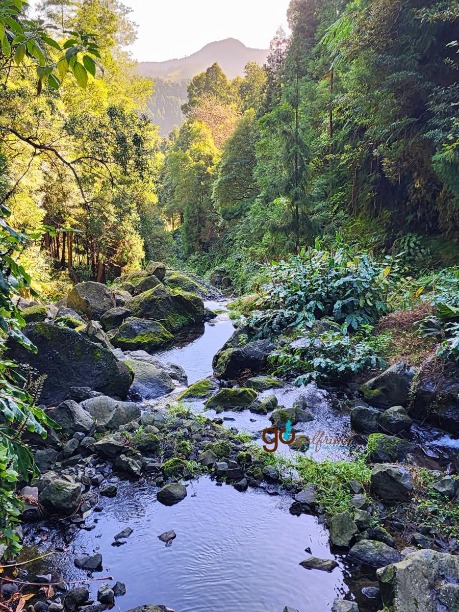 Parque Grena is a wonderful private nature preserve (park access is $10.00€ pp) with waterfall, steaming thermal vents, hot springs, a thermal lake and remnants of an old grand estate house on the property to explore on a short hike. Head up the waterfall trail (350+ stairs) for a vantage high above the pools below. Follow the Bridges paths and the trail to Grena house to explore the old estate that was the root of this nature preserve. Bring your bathing suit if you like to swim in the waterfall or thermal tubs.
Directly on site at Grena Park (before the hiking trail access) are the volcanic thermal vents where many of the restaurants cook their Cozida das Furnas dinner creations. You can see the restaurant signage to denote which vents are cooking which restaurants cozidas. Between 10 and 11am, you can watch as the stew pots are pulled from the vents, noting which lunch is yours in a few hours (if you have pre-reserved a cozida dinner).
Amenities – Concession stand, small visitor center and washrooms
Furnas Caldeiras and Terra Nostra Gardens
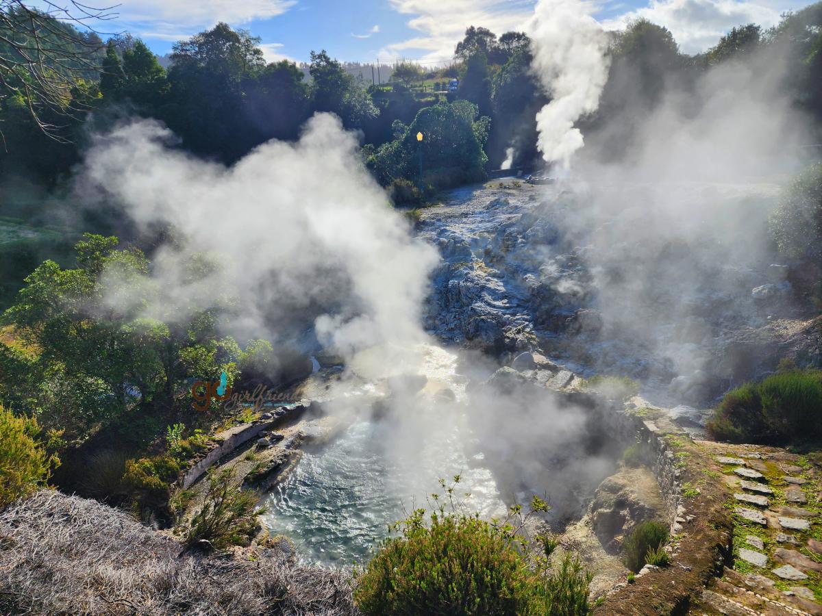 Not a formal hike, but we recommend you explore Furnas on foot. A stop to wander through the caldeiras with the sulphury thermal vents bubbling - some violently - is a must. To know the heat and lava within the caldera chamber a few mere kms/miles below the surface is strong enough to boil the water of the mantle and produce these fumaroles with jets of steam is a mind-bending thought. Explore the caldeira zone and see the steaming geysers, mud pits and taste the natural spring fed fountains with varying tastes and minerals.
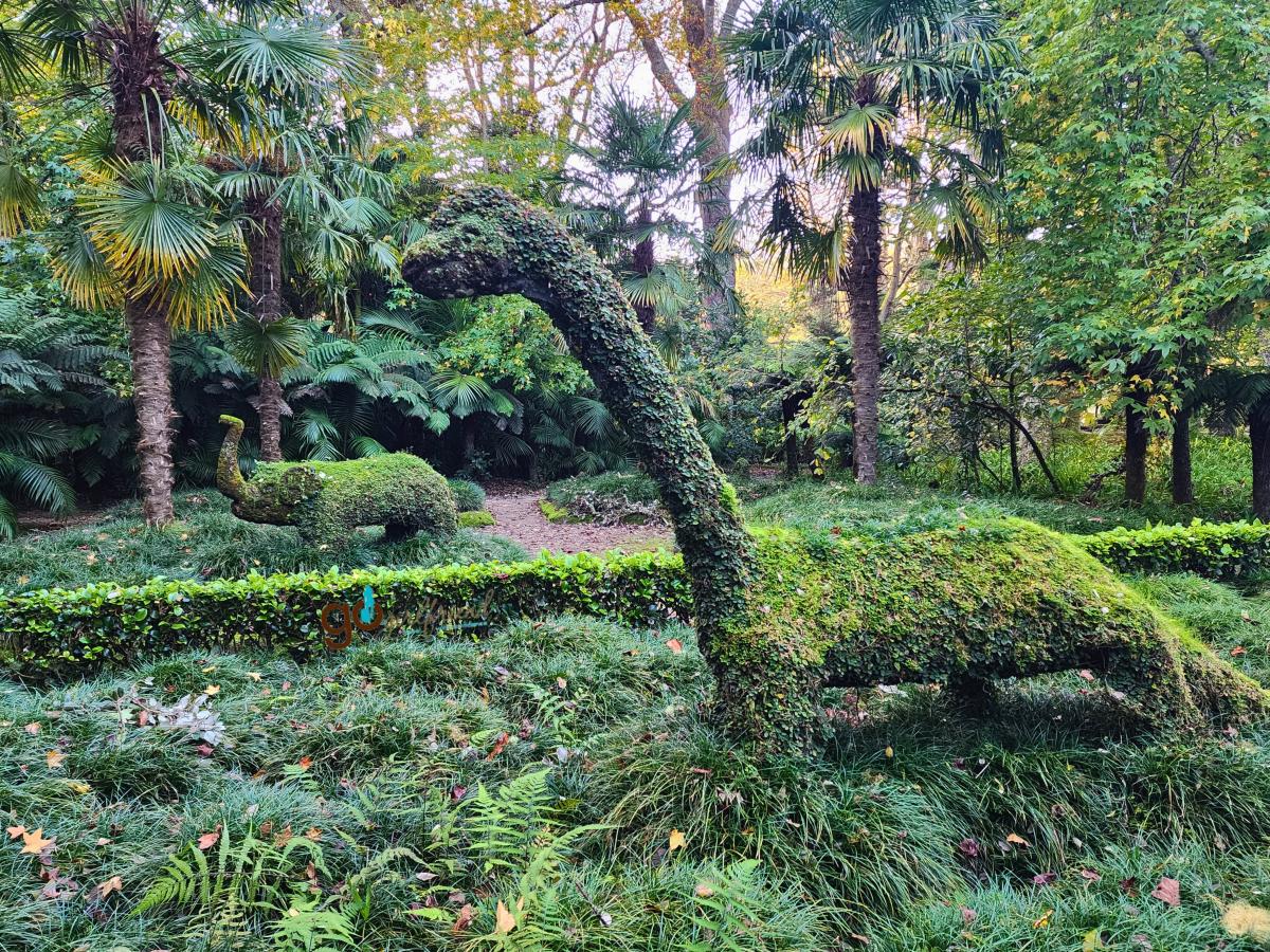 While in Furnas, another necessary stop is the Terra Nostra gardens and thermal pool. Entrance is about $10.00€ pp with access between 10:30am and 4:30pm. Plan about an hour to wander the centuries-old botanical gardens offering rare species of flowers, plants and trees to enjoy, an avenue of ginko biloba to stroll and mystical topiary creations within the hidden pathways and pools to admire. A green retreat in so many ways!
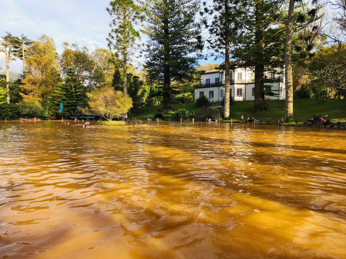 We must admit that after all the hiking and exploring, a treat is in order. While at the Terra Nostra Gardens, you absolutely must experience its one-of-a-kind volcanic and iron-rich thermal pool. The thermal pool is a comfortable 35-40’ C (95-104’ F), enriched with natural minerals – especially its iron richness that displays the yellow-coppery hue to the pool – delivering minerals highly beneficial to the skin and wonderful relaxation. Skin beneficial minerals and muscle soaking relaxation – what more can be desired?
Amenities – Restaurants, washrooms, changing rooms
From high atop the caldera rims to finding hidden waterfalls and steaming thermal vents, São Miguel offers treat after treat for the eyes.
Exploring a destination by hiking allows us to get off the beaten path and see new landscapes and perspectives not available simply by car. Hiking helps us appreciate what an amazing and diverse planet we live on. Hike on, my friends!
Interested in more information on our travels to Madeira and São Miguel of the Azores, check out our other posts offering more detail:
- Jump over to our GoGirlfriend Album on Facebook for a photo stroll
- Madeira 7-day sightseeing itinerary
- Visit Madeira Tourism
- Our comparison of these Atlantic jewels - Madeira and Sao Miguel of the Azores
- Sao Miguel, Azores 6-day itinerary
- Visit Azores Tourism
- Madeira hiking – seaside to mountains, and levadas
Drop a comment below if one of these hikes on Sao Miguel intrigue you. Drop a comment below or connect with us on Facebook, Twitter, Instagram or now Bluesky.







 Check out our
Post new comment